Satellites Are Watching a Historic El Nino Rearrange the Pacific in Real Time
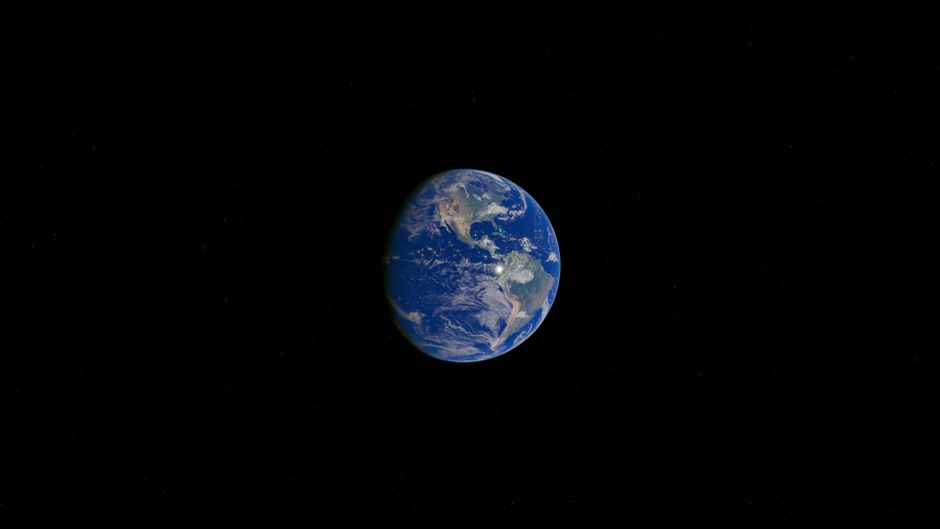
Image: Pexels via Pexels.
The briefing
NASA says its satellites are tracking an El Nino that NOAA assesses, as of October, as having an 83 percent chance of being the strongest since 1950. Warm water that gathered near Micronesia in January has crossed the Pacific as slow Kelvin waves, eastern Pacific surface temperatures are running about 1.7 degrees Celsius above the long term average, and sea level in parts of the east has risen by as much as 30 to 40 centimeters.
Why it matters
This is the first El Nino watched by the newest generation of ocean satellites, and the observations feed directly into hurricane intensity forecasts and coastal planning. The same data also show the biological cost, as weakening trade winds cut the upwelling that feeds equatorial phytoplankton, the base of the marine food web.
Key details
- NASA project scientist Josh Willis described the Kelvin waves crossing the Pacific as the heartbeat of El Nino, and said satellite altimeters let researchers watch every beat. NASA notes the continuous satellite sea level record stretches back to 1993.
- While sea level rose by up to 1 to 1.3 feet in parts of the eastern Pacific, NASA maps show it running 15 to 20 centimeters below normal around Indonesia and northern Australia, the classic seesaw of heat moving east.
- NASA PACE satellite, launched in 2024, is observing its first El Nino and has tracked equatorial waters turning measurably bluer as phytoplankton abundance falls with reduced upwelling of nutrient rich deep water, according to NASA scientist Matthew Kehrli and the PACE team.
- The twin Sentinel 6 satellites are flying the sea level watch, with Sentinel 6B launched in November 2025 and now trailing Sentinel 6 Michael Freilich by about 30 seconds, Fox Weather reported. Each spacecraft measures sea surface height, wave size, and wind speed with a radar altimeter.
- That ocean height data feeds hurricane forecasting tools used by federal and state agencies, because warm water expands and the height signal reveals ocean heat content that helps predict how fast a storm can intensify, according to reporting by Phys.org and Fox Weather.
- FOX Weather reported updated Climate Prediction Center odds above 90 percent for a very strong event, a different measure and a later update than the NOAA figure NASA cited, and both point the same direction. The event is still strengthening, and its final ranking will depend on the index used to measure it.
Reporting from NASA, Phys.org, Fox Weather. Full stories at the sources below.
Read at NASA Read at Phys.org Read at Fox Weather